Opposite Akmeņrags Lighthouse, moraine elevations form the European Union protected habitat “Stony Reefs in the Sea”, which is one of the most significant protected habitats in the Baltic Sea. The unique underwater relief was formed as a result of glacial activity. In everyday life, it is hidden beneath the water and is not easily accessible. Now, at Akmeņrags, an opportunity has been created for everyone to explore this landscape more closely.
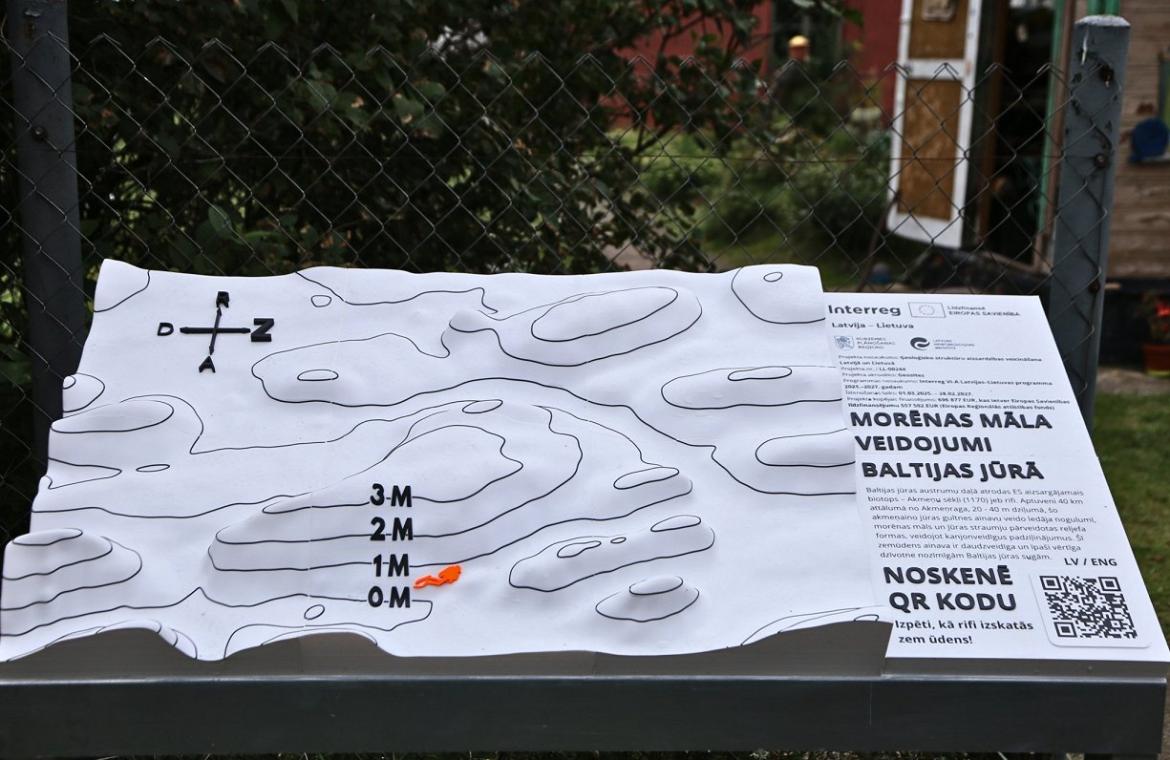
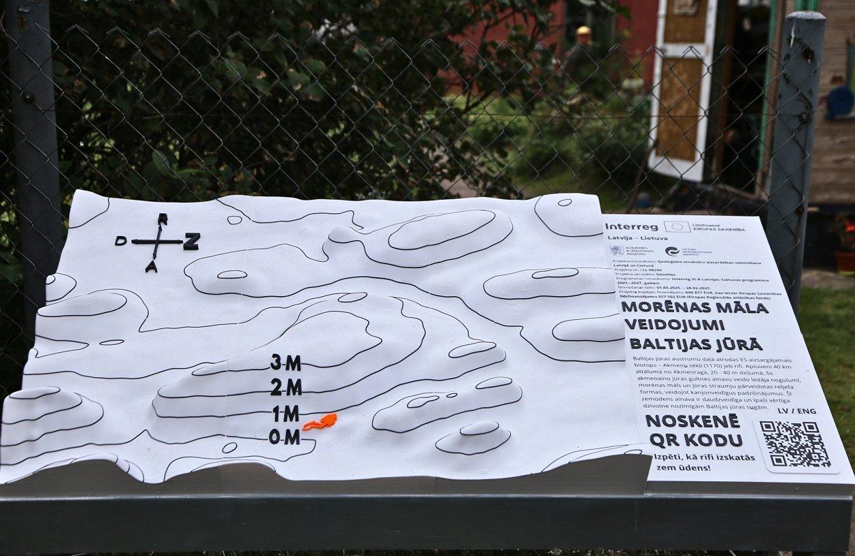
The information display created near Akmeņrags Lighthouse makes it possible to see what the Baltic Sea seabed looks like underwater at a depth of 20–30 metres.
What makes the Akmeņrags coast interesting is its moraine formations. Moraine ridges are not typical of our waters, as our coastline is typically characterised by boulders alternating with areas of sand and gravel. But opposite Akmeņrags, the relief is diverse – with formations up to 4 metres high, which look very impressive when diving.
“When diving or swimming, a person is usually in a horizontal position. And the impression, of course, is much greater than if we were standing down there like posts,” says Ieva Bārda, a researcher at the Latvian Institute of Aquatic Ecology. “I found the structures that formed elevations or three-metre-high towers and passages to swim through very impressive. There is also very high biodiversity there. Our blue mussels grow on the moraines, and there is a great diversity of fish. A cave has formed as a result of the currents, and a cod lived there, with a butterfish further on,” Bārda recalls her diving experience.
Only a small fragment of this unique area is depicted on the display, which the researcher describes as a very significant geomorphological feature in our Baltic Sea waters.
The glacier moved clay, sand and stones, but as it retreated, this material was deposited, forming moraine – a mixture of sediments and stones of various sizes.
Later, sea currents reshaped them, creating a diverse underwater landscape.
Within the framework of a European Union project, the Kurzeme Planning Region team has now made this richness accessible to everyone. Project manager Anna Elizabete Upsava noted that the QR code on the display leads to a website where footage filmed by Ieva Bārda and her colleagues while diving at Alku Shoal can be seen. The video also contains a great deal of explanatory material both about how these reefs formed during the movement of the ice and about biodiversity.
“In this project, we are developing digital 3D models that will transform the data scanned by divers into an interactive environment – the reefs will be able to be rotated in all directions,” Upsava added.
Among Latvia’s lighthouses, Akmeņrags Lighthouse stands out for being located in one of the most dangerous areas for navigation along the Baltic Sea coast. The lighthouse light marks a rocky shoal approximately two nautical miles long that extends into the sea. Despite the fact that a navigational light had already been burning here since the end of the 19th century, Akmeņrags has witnessed several shipwrecks.
Asked whether the moraine formations have also made this area dangerous for navigation, Bārda acknowledged: “Not directly because of this, as the formations are 20–30 metres below the water and ships do not have such a deep draught. Perhaps there is also an elevation at a shallower depth of around 15 metres, but closer to the shore there are shoals, and it is more related to that.”
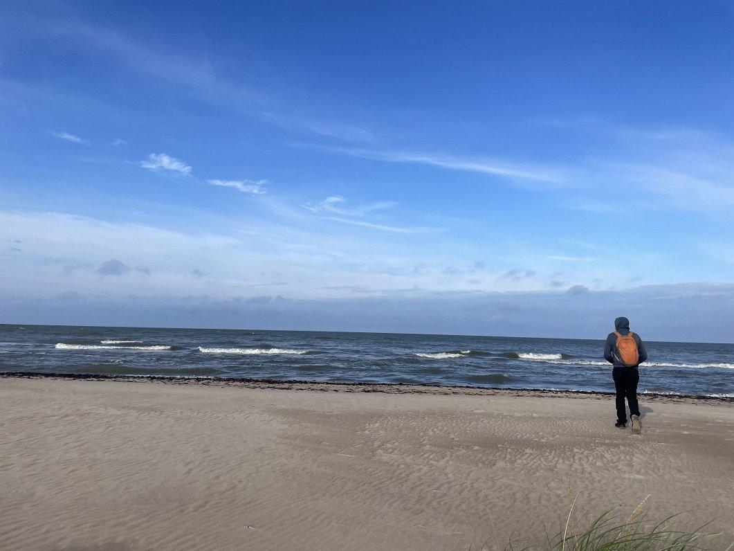
The fragment of the Baltic Sea underwater landscape shown on the tactile display is located diagonally from the lighthouse, opposite Pāvilosta, approximately 36 kilometres from the coast. After exploring the display, I walk down to the sea and can only imagine how, somewhere out there in the distance, on the seabed, there are landforms left behind by the glacier and reshaped by sea currents. The new knowledge about Akmeņrags makes this place, surrounded by various legends, even more interesting.